SoCal Trip: Death Valley
Previous Next
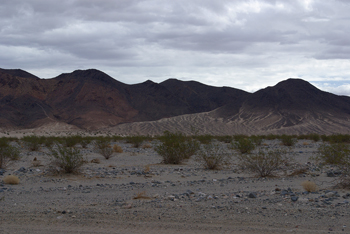
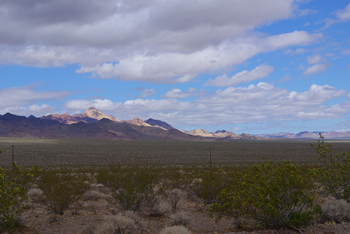
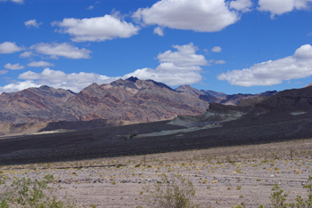
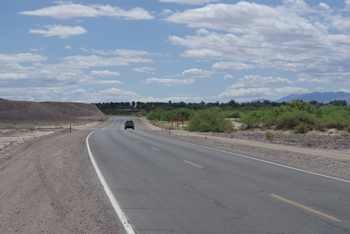
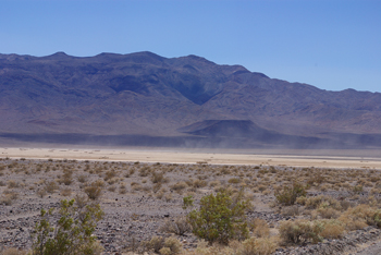
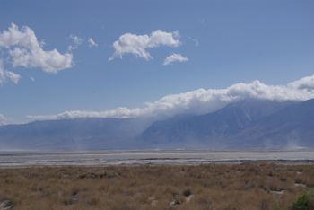
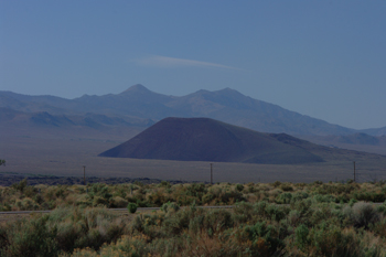
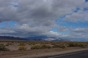 North through Amargosa Desert parallel to Death Valley |
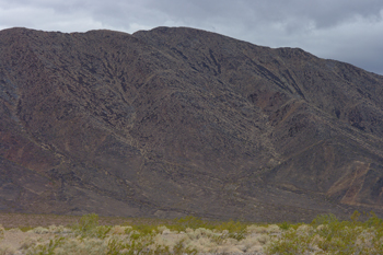
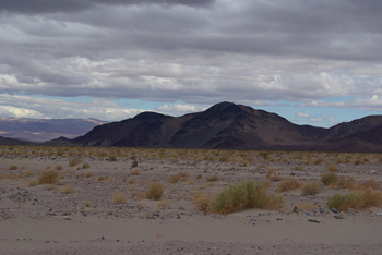
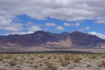
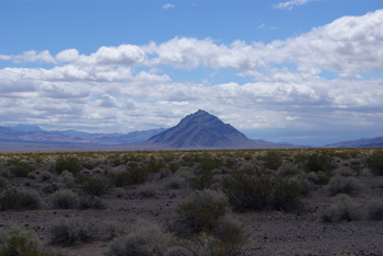
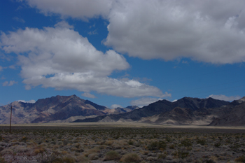
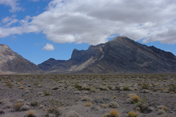
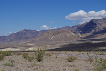
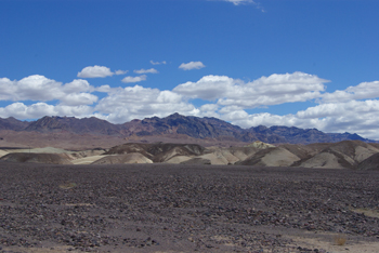
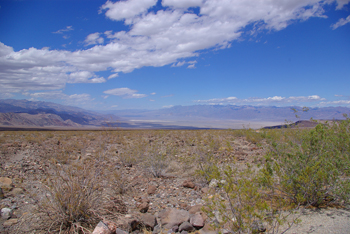
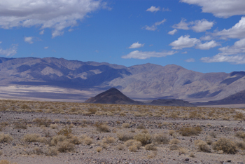
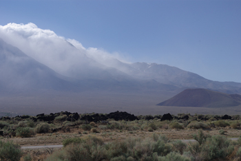
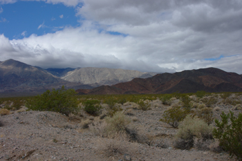 Amargosa Desert |
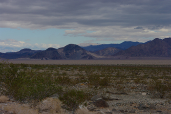
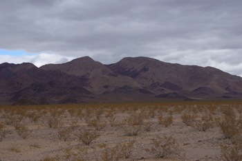
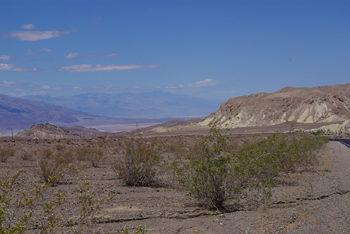
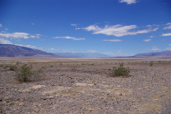
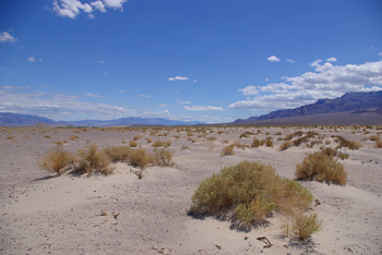
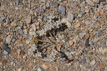
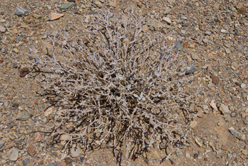
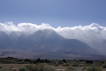
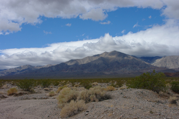 Amargosa Desert |
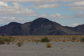
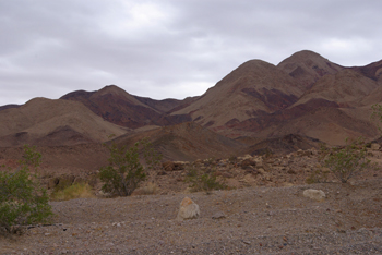
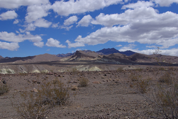
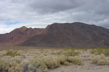 Amargosa Desert |
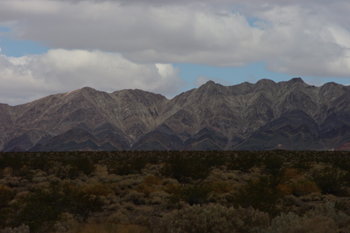
 Amargosa Desert |
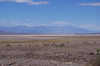
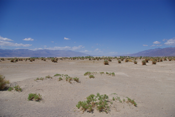
 Amargosa Desert |
 Amargosa Desert |
 Amargosa Desert |
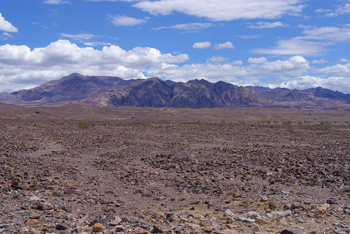
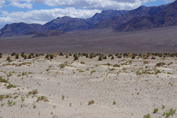
 Amargosa Desert |
 Amargosa Desert |
 Amargosa Desert |
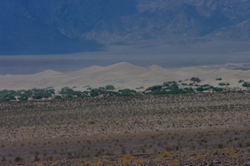
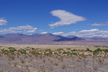
 Amargosa Desert |
 Amargosa Desert |
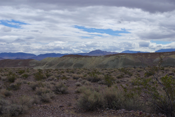 Amargosa Desert |
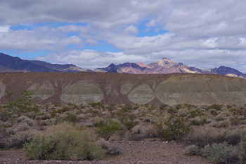 Amargosa Desert |
 Amargosa Desert |
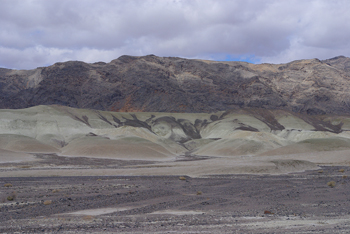 Amargosa Desert |
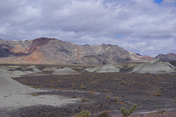 Amargosa Desert |
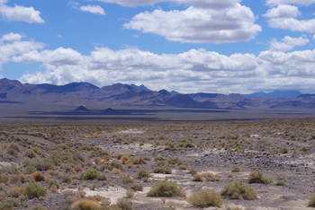 Amargosa Desert |
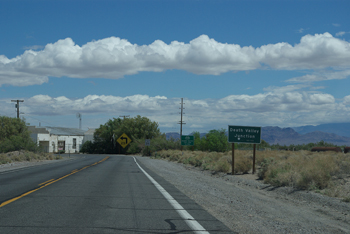 Death Valley Junction, actually in Amargosa Valley |
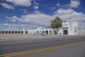 Amargosa Opera House, lodging (not open) in low wing to left |
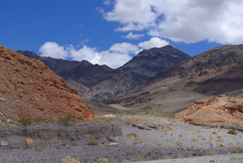
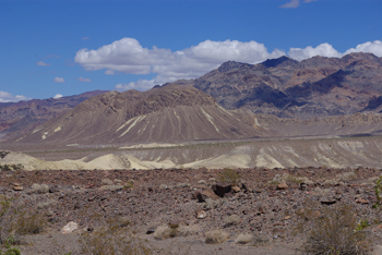
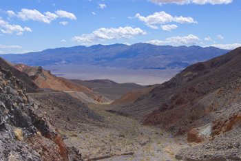
 Heading into the Amargosa Range |
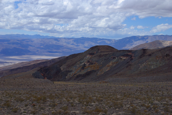
 Amargosa Range |
 Amargosa Range |
 Amargosa Range |
 Amargosa Range |
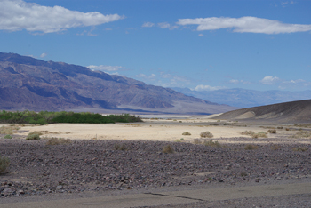
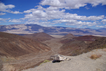
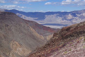
 First look into Death Valley |
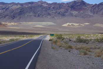
 Heading into Death Valley |
 Heading into Death Valley |
 Heading into Death Valley |
 Death Valley |
 |
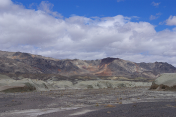
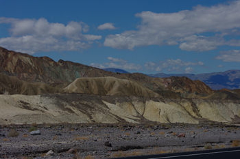
 Approaching Zabriskie Point |
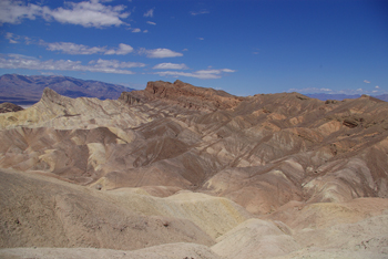
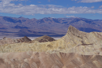
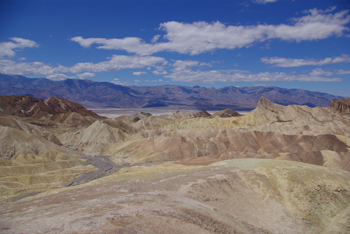
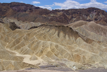
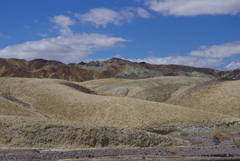 Zabriskie Point |
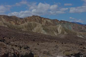 Zabriskie Point |
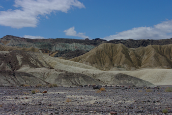 Zabriskie Point |
 Zabriskie Point |
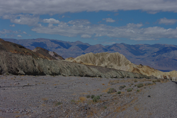 Zabriskie Point |
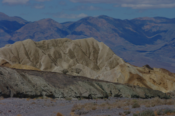 Zabriskie Point |
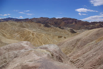 Zabriskie Point |
 Zabriskie Point |
 Zabriskie Point |
 Zabriskie Point |
 Zabriskie Point |
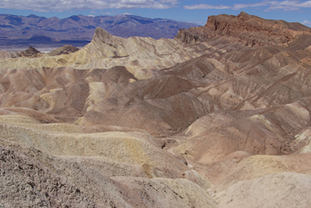 Zabriskie Point |
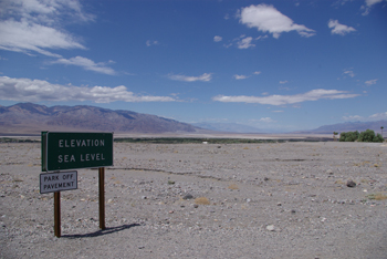 In Death Valley, but not the lowest point |
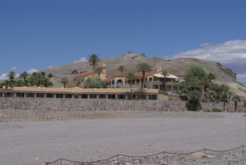 One of two resorts in the valley |
 |
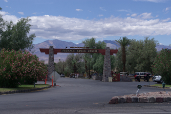 Furnace Creek, the other one |
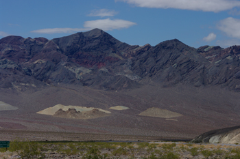
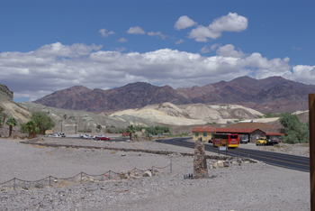
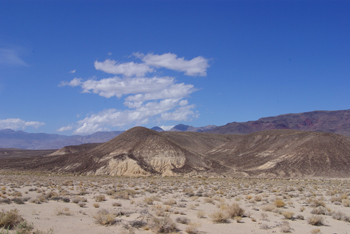
 In Death Valley |
 In Death Valley |
 In Death Valley |
 View north from lowest point |
 View south from lowest point |
 In Death Valley |
 Hoping to be here with rain but missed it |
 In Death Valley |
 In Death Valley |
 In Death Valley |
 In Death Valley |
 In Death Valley |
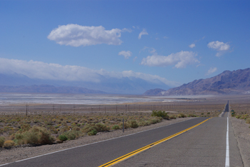
 Leaving Death Valley, looking back |
 Crossing Panamint Range |
 Crossing Panamint Range |
 Crossing Panamint Range |
 Crossing Panamint Range |
 Crossing Panamint Range |
 Crossing Panamint Range |
 Crossing Panamint Range |
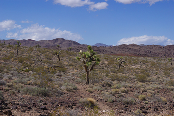 Crossing Panamint Range, high enough for Joshua trees |
 A flock of Yellow Warblers were up here too |
 Down into Panamint Valley, paralleling Death Valley to west |
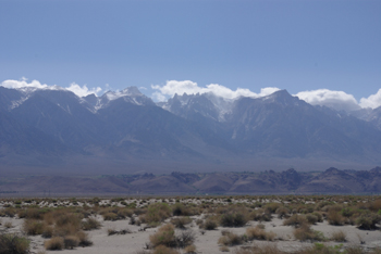
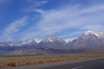
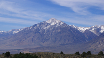
 The high Sierras, clouds trying to come over |
 |
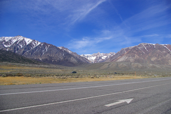
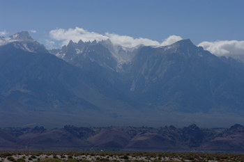 Connect to US 395 in the Sierra shadow |
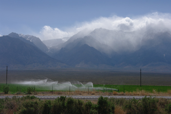 Panamint Valley irrigation |
 Panamint Valley |
 Panamint Valley |
 Panamint Valley |
 Panamint Valley |
 Panamint Valley |
 Panamint Valley |
Previous Next